CloudBreaker now offering Aerial Surveying/3D Modeling
CloudBreaker has recently expanded its operations to include aerial surveying and 3D modeling services led by our GIS Consultant, Nicholas White (B.Sc).
Nick is a GIS Specialist who is using aerial imagery captured by our Draganflyer X4-ES to create detailed 3D mapping data. He has experience in seabird GPS tracking, water conservation, and park planning and is actively engaged with local environmental organizations, working in planning and design with the Grand Concourse Authority.
Using specialized photogrammetry software, CloudBreaker has the capability to match images for high-resolution orthomosaics and triangulate locations to build digital surface models. We can also attach RTK survey points for very accurate survey-grade elevation data and imagery. Some of the surveying services we offer include: orthomosaic images (<5cm/px), 3D point clouds, digital surface models, volumetric calculations, ground cover classifications, drainage and flood mapping, agricultural mapping, and property/development mapping.
Our elevation data is similar to LiDAR – we can produce dense accurate point clouds (.LAS format) at a fraction of the cost. Currently, we do not have the ability to penetrate vegetation, water, or ground although this is something we are actively working on.
Over the past few months, we’ve managed to hone our skills on some really diverse projects. We’ve mapped a magma chamber on Fogo Island with Memorial’s Department of Geology and made our way down to Petty Harbour to get a detailed look at their infrastructure. A couple of examples from those projects can be seen below.
If you’re interested in hearing more about our aerial surveying and 3D modeling, please get in touch with Nick (nick@cloudbreaker.ca)
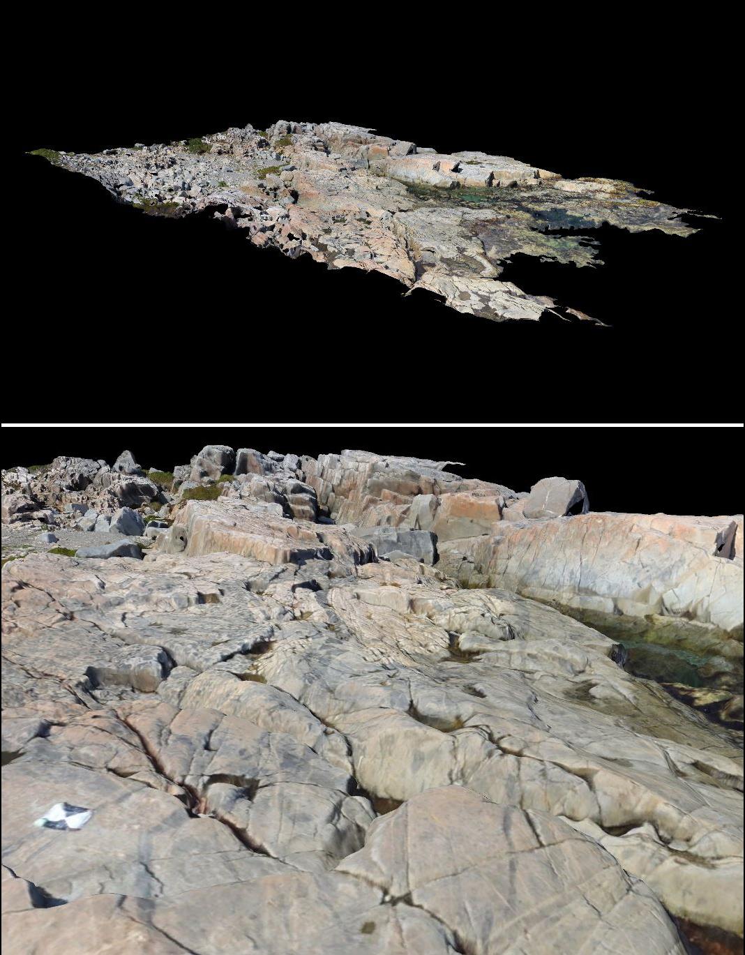
Petty Harbour – The video below shows a dense 3D point cloud and surface reconstruction from approximately 100 images taken during a 15 minute flight at 120 metres (400 ft)
Fogo Island Magma Chamber
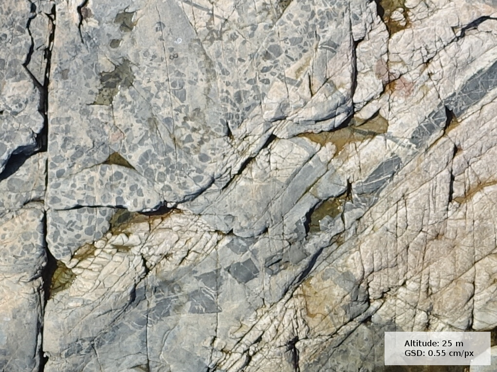
Sample images from a very localized site on Fogo Island