Surveys & Mapping
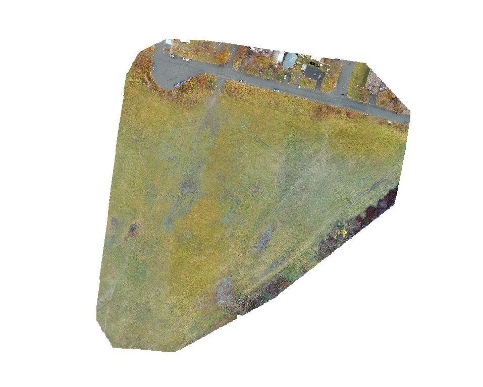
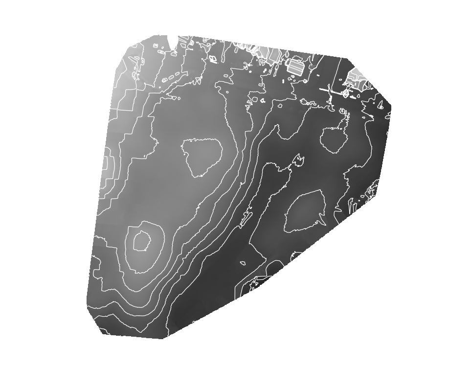
CloudBreaker UAVs collect survey-grade 3D data and high-resolution imagery at a fraction of the cost and time of traditional methods. Using specialized photogrammetry processes, we can combine hundreds of photos from short, low-altitude flights to produce highly-detailed maps and models of your area. We attach RTK survey points for high-accuracy (<cm) imagery and elevation data. Our UAVs can cover large or difficult areas systematically with GPS-controlled autopilot systems.
We offer:
- Orthomosaic Imagery (<2 cm/px)
- Tiled Imagery
- 3D Point Clouds
- Digital Survey Models
- Contours
- Volumetric Calculations
Applications include:
- Property Development
- Infrastructure Mapping
- Mining Development
- Drainage and Flood Mapping
- Agricultural Mapping
- Forestry